Artificial Intelligence Helps Detect Brambles from Space
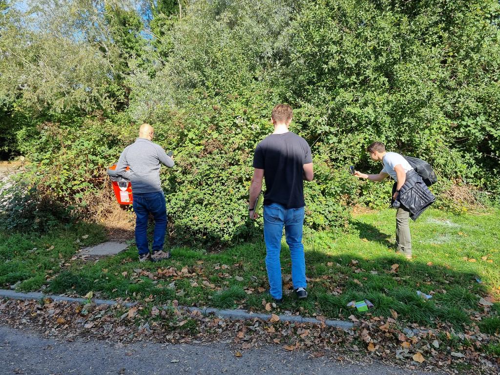
Researchers from Cambridge have developed a model that can detect brambles from space using satellite images. The team, led by Sadiq Jaffer, used a neural network technique to train the model, called TESSERA, to identify brambles in satellite images. In a field test, the model was able to accurately detect brambles in various locations, including Milton Community Centre, Milton Country Park, and a residential area.
How the Model Works
The model uses remote sensing data from satellites to learn the representation of brambles. It can detect large, uncovered bramble patches visible from above with high confidence. However, smaller brambles under tree cover show lower confidence scores, which is a logical limitation given the satellite’s overhead perspective. As Jaffer explained, “Since TESSERA is learned representation from remote sensing data, it would make sense that bramble partially obscured from above might be harder to spot.”
An Early Experiment
While the researchers are enthusiastic about the early results, the bramble detection work is still under active research. The model has not yet been published in a peer-reviewed journal, and the field validation was an informal test rather than a scientific study. The Cambridge team acknowledges these limitations and plans more systematic validation.
Practical Applications
The simplicity of the bramble detector offers some practical advantages. Unlike more resource-intensive deep learning models, the system could potentially run on mobile devices, enabling real-time field validation. The team considered developing a phone-based active learning system that would enable field researchers to improve the model while verifying its predictions. In the future, similar AI-based approaches combining satellite remote sensing with citizen science data could potentially map invasive species, track agricultural pests, or monitor changes in various ecosystems.
Future Possibilities
For threatened species like hedgehogs, rapidly mapping critical habitat features becomes increasingly valuable during a time when climate change and urbanization are actively reshaping the places that hedgehogs like to call home. The use of AI-based approaches could help conservation efforts by providing accurate and up-to-date information about the location and extent of invasive species and habitat features.
Conclusion
The development of the bramble detector model is a promising application of artificial intelligence in the field of conservation. While the model is still in its early stages, it has shown promising results and has the potential to be used in a variety of practical applications. With further development and validation, the model could become a valuable tool for conservation efforts and help to protect threatened species and ecosystems.
FAQs
Q: What is the bramble detector model?
A: The bramble detector model is a neural network technique that uses satellite images to detect brambles.
Q: How does the model work?
A: The model uses remote sensing data from satellites to learn the representation of brambles and can detect large, uncovered bramble patches visible from above with high confidence.
Q: What are the potential applications of the model?
A: The model could be used to map invasive species, track agricultural pests, or monitor changes in various ecosystems, and could potentially be used in conservation efforts to protect threatened species and habitats.
Q: Is the model available for use?
A: The model is still in its early stages and has not yet been published in a peer-reviewed journal. Further development and validation are needed before it can be widely used.


